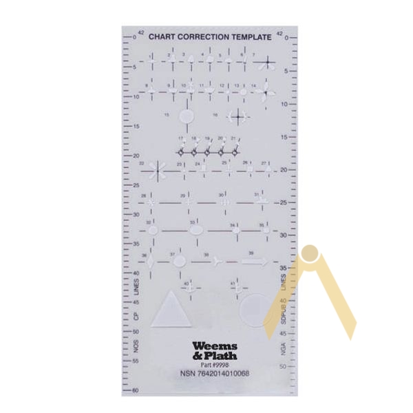

The navigation map correction template contains the IALA Region A and B symbols that are required to update and correct the nautical maps. Designed for use with fineliner. Map correction can be done quickly and carefully. It is an exact replica of the template prepared earlier by the National Geospatial Intelligence Agency (NGA).
Weight: 9 g
Dimensions: 8.5″ x 4″ (215 x 101 mm)