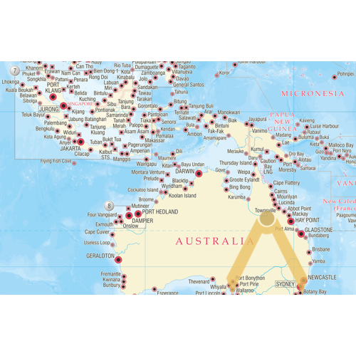

The Shipping World’s Map is a comprehensive world map featuring over 2,100 ports and terminals.
The map features one large global view, with additional regions expanded to provide greater detail on congested maritime areas. The port symbols indicate, not only the location of the port, but also the relative size of the port and whether drydock repair facilities are available for the largest vessels.
In addition, two inset maps are included which feature International Load Line Zones and Areas and a summary of MARPOL 73/78 regulations, including the upcoming designation of the Baltic Sea and North Sea ECAs for NOx Tier III control.
This useful and attractive world map is ideal for use in the office, in the boardroom or on the bridge.